


- + DISCOVER UPSTATE
- + STAY
- + THINGS TO DO
- + LOCAL TOURS
- + WINE & DINE
- + EVENTS
- + MAPS
- + TRAVEL BLOGS & MORE
- Site Search
Rockefeller State Park Preserve
Traversing through woodlands, meadows & fields, Rockefeller State Park Preserve features 45 miles of historic and scenic carriage roads that are wide and easy to walk.

Located just 10 miles north of White Plains and 30 miles north of NYC, Rockefeller State Park Preserve features 45 miles of historic carriage roads. Traversing through woodlands, meadows & fields, the scenic roads are wide and easy to walk. The roads are also open to horseback riders and visitors to the park can enjoy snowshoeing, cross-country skiing and sledding.
The preserve, which is primarily hardwood forest, is also comprised of fields, streams, and wetlands that support a high diversity of wildlife and is popular for walking, riding, jogging, birdwatching and carriage driving. The preserve’s combinations of trails lead through varied landscapes and past natural and historical features, such as Swan Lake, the Pocantico River. Trail maps of the carriage roads are available at the Preserve Office or may be downloaded from the NYS Park’s website (above).
Open year-round from sunrise to sunset, leashed dogs are welcome, but bicycles, mechanized vehicles, drones, metal detectors, snowmobiling, camping, and open fires are strictly prohibited.
Pet Friendly
Accessible


Pleasantville, NY
Current Conditions
73°F
Clear
| Sat Jul 27 | Sun Jul 28 | Mon Jul 29 | Tue Jul 30 |
|
|---|---|---|---|---|
| 8am | 64° | 68° | 72° | 70° |
| 2pm | 81° | 84° | 78° | 85° |
| 8pm | 87° | 85° | 88° | 89° |
Dining near Sleepy Hollow BOOK YOUR STAY Things To Do near Sleepy Hollow Camping / RV near Sleepy Hollow
LOOK WHAT ELSE
IS CLOSE BY
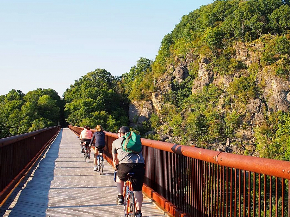
Wallkill Valley Rail Trail
Hudson Valley

Surrounded by picturesque streams, hillsides, and forest, the trail runs directly through the heart of New Paltz.
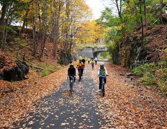
Hudson Valley Rail Trail
Hudson Valley
Hike it or bike it, ride on horseback or roller blades or ski it cross-country style or on snow shoes in the winter – enjoy the trail any way you like!
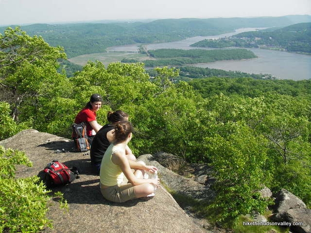
Beacon Mountain
Hudson Valley
Hudson Highlands' highest peak, Beacon Mountain offers two summits, hiking trails, a fire lookout tower and monument and the ruins of the Mount Beacon Incline Railway...
Bull Hill (Mt. Taurus)
Hudson Valley
Also known as Mount Taurus, Bull Hill is a mountain just north of the village of Cold Spring on the Hudson River as part of the river-straddling range known as the Hudson Highlands.